
Remote Sensing: The practice of evaluating and studying the physical properties of a region by detecting the reflected and emitted radiation from a distance is known as remote sensing (typically from satellite or aircraft). It aids in the acquisition of information about an object or phenomenon without making physical contact with the object or...
While there is a series of catastrophic events in the world due to climatic changes; India has also been a victim of the same.India has already lost over 1,56,000 lives in less than a year because of COVID-19, and 2021 began with the Uttarakhand calamity causing a plethora of damage and destruction. Catastrophic risk...
Cultivation of sugarcane in India had been started since Vedic period. Sugarcane is perennial grass cultivated for its juice from which sugar is processed. Most of the World sugarcane is grown in tropical and subtropical areas. India is the second-largest producer of sugar (17.1%) in the world after Brazil. Within India, Uttar Pradesh (36.1%),...

Flood damage is defined as all the varieties of harm provoked by flooding. It includes all detrimental effects on people, their health, and properties; on public and private infrastructure. In 2006, Surat city was affected by floods which resulted in losses to the textile industries were very high. Mean loss and damage for each...
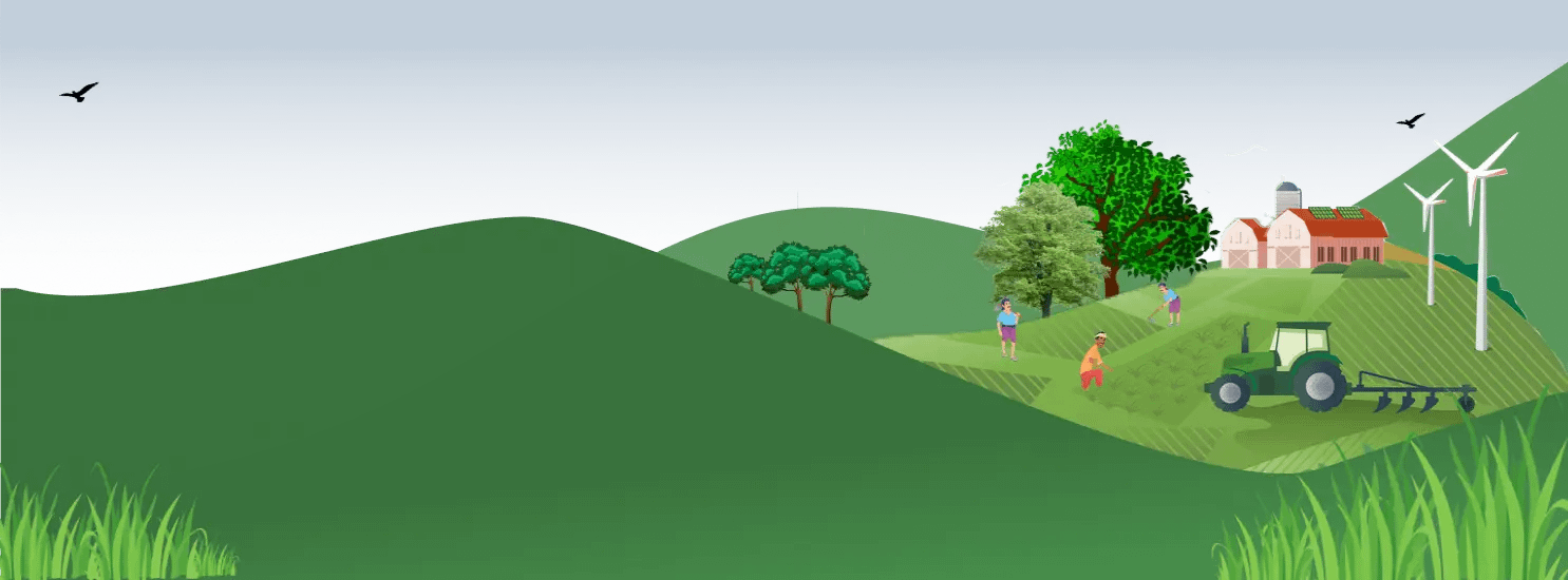
Agriculture is an economic activity which is highly reliant on climate and weather in order to produce the food and fiber necessary to sustain human life. Agriculture is, however, an activity which is extremely vulnerable to climate change. Due to global warming, the temperature has increased twice during the last 50 years. The mean...

Crop health is of paramount importance to agriculturists i.e, farmers; thus, keen and consistent monitoring of crop health helps to improve maximum yield and profit for farmers cum harvest time. To look at crop health monitoring as governed by just one or two aspects, however, is a serious mistake. Every year the number of...

Flood is one of the biggest natural phenomena which not only affects and threatens human’s life, properties but also the services and activities of industries and communities. Therefore the Flood inundation mapping (FIM) is required to understand the effects of flooding in a particular area and on important structures such as roadways, buildings and...

Have you imagined life without rain? Certainly not! Rain and snow are parts of a larger process called the hydrologic cycle, which transports water from the ocean to land and back again, hence rainfall is one of the most pertinent sources of water. 97 per cent of Earth’s water is saline seawater which is...

The enhanced vegetation index (EVI) has earned a huge attention for monitoring the vegetation quality and quantity like Normalized Difference Vegetation Index (NDVI). It is represented as an optimized vegetation index invented by Liu and Huete to improve the vegetation signal with better sensitivity in high biomass areas. The primary use of EVI is...

Normalized Vegetation Index(NDVI ) used to monitor the condition of vegetation health globally. It’s value ranges from -1 to +1 which indicates the health of green vegetation. If NDVI value close to -1 indicates possibility of deep water , close to zero means less or no vegetation and close to +1(0.8-0.9) indicates the highest...