
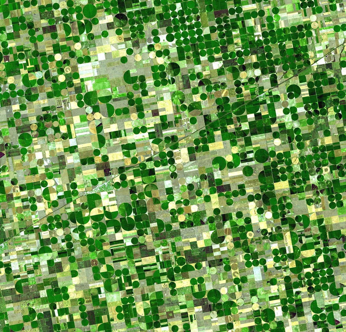
Crop Classification
The conventional method of crop mapping includes field survey and statistics sampling. While using the conventional methods, it requires a lot of resources and it is almost impossible to do at regional and global levels. The remote sensing techniques can be used to map the crop, at farm to regional scale at greater efficiency.
Accurate classification results are required for analyses, which provide basis for deciding and implementing policies and plans for management of agricultural crops in local, regional and global scale and also required for estimating crop water requirement for irrigation purpose. Satyukt analytics has expertise in mapping the different crop, with the help of multi-satellite data.


