
Depth to groundwater analysis using Ambhas Geoportal
India greatly depends on groundwater for cultivation, irrigation and industrial processes. In fact, India is one of the countries which is called as a groundwater economy. Satyukt Analytics has developed an interactive web portal for analysing groundwater level in the parts of Karnataka. Ambhas, a geoportal developed to analyse and study about the variations in groundwater level from the last 8 years.
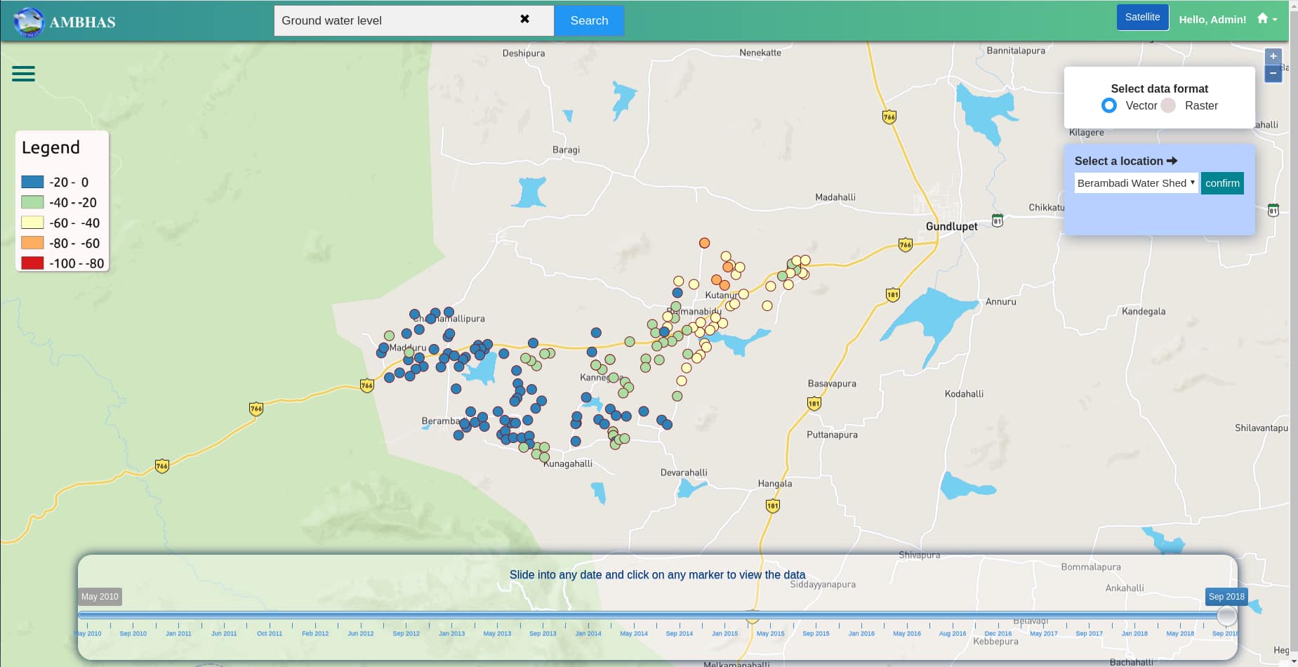
In the portal, we have mapped the data in two formats,
- Vector – point data
- Raster – image data
Users can select the data in any of the above formats and can see the difference in groundwater level in interactive charts. On choose of the vector, we have point data. Each point represents a well in a specific location.
Also, we have added a time-series slider in the portal to view the data of previous years. We have added a chart to display the variations in depth to groundwater in meters. This can be viewed on click of each point.


