
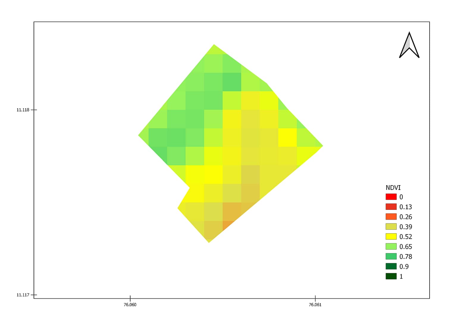
NDVI over a farm in Kerela
Normalized Vegetation Index(NDVI ) used to monitor the condition of vegetation health globally. It’s value ranges from -1 to +1 which indicates the health of green vegetation. If NDVI value close to -1 indicates possibility of deep water , close to zero means less or no vegetation and close to +1(0.8-0.9) indicates the highest possible density of green leaves.
The above figure shows NDVI image for a farm in xyz district, Kerela at 10 m spatial resolution observed from Satellite. The Vegetation Indices of high spatial resolution can be used to monitor the farm and identify the areas having problems within the farm. The above image shows very high value over some areas of the farm, while some areas have relatively lower value. The satellite data can be used to monitor the crop health at farm scale.
1. https://earthobservatory.nasa.gov/features/MeasuringVegetation/measuring_vegetation_2.php


