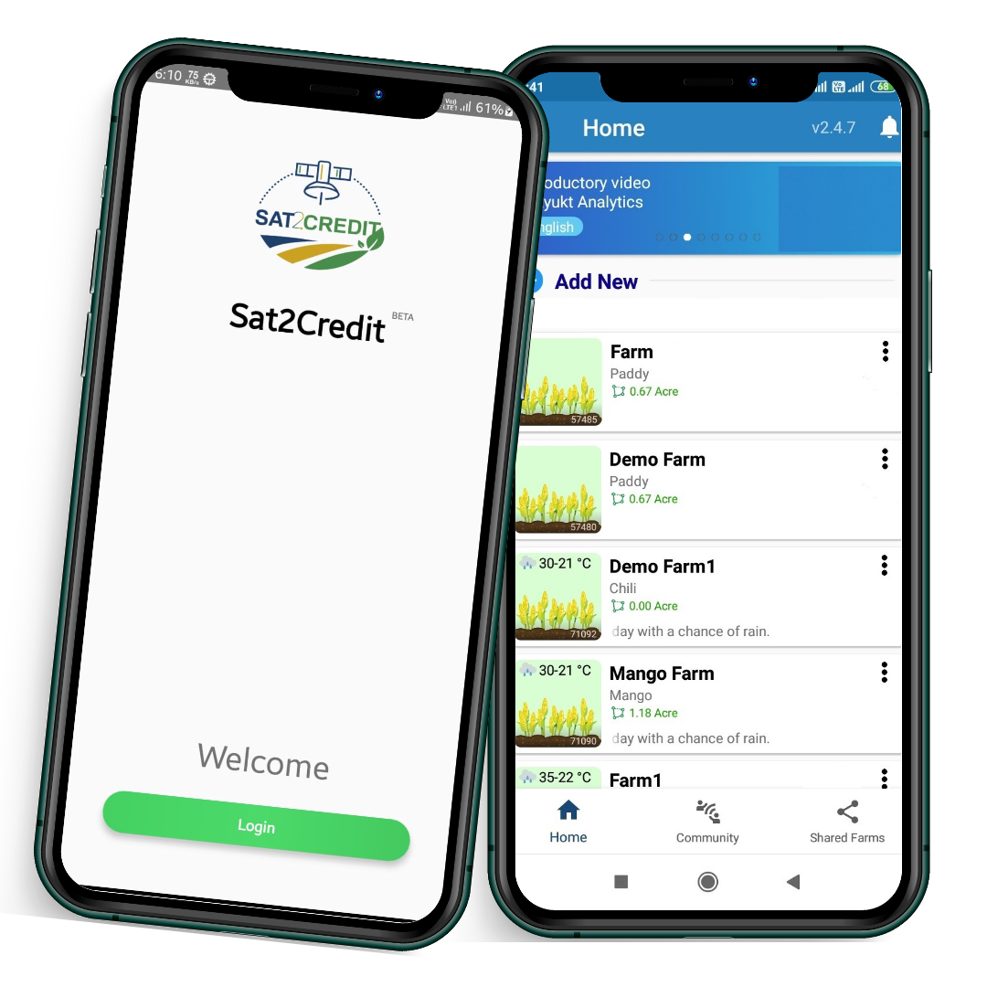
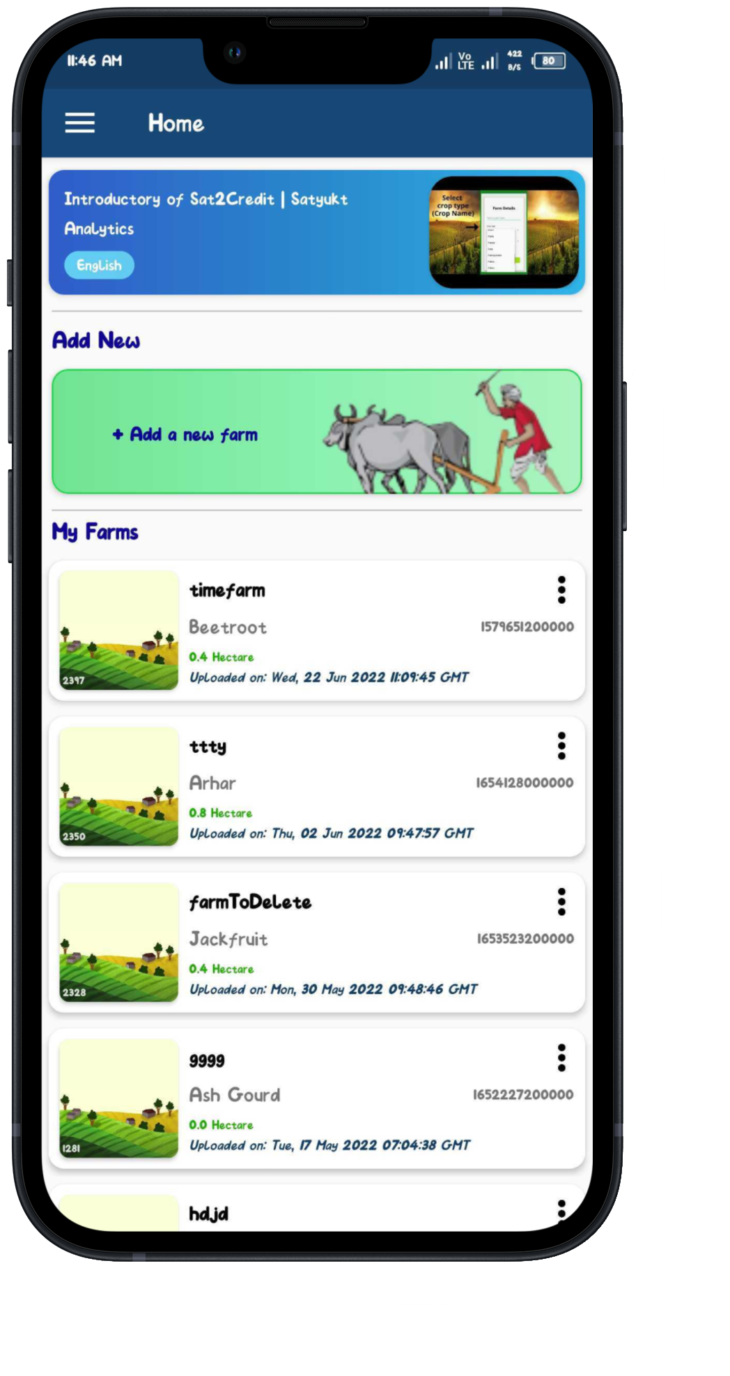
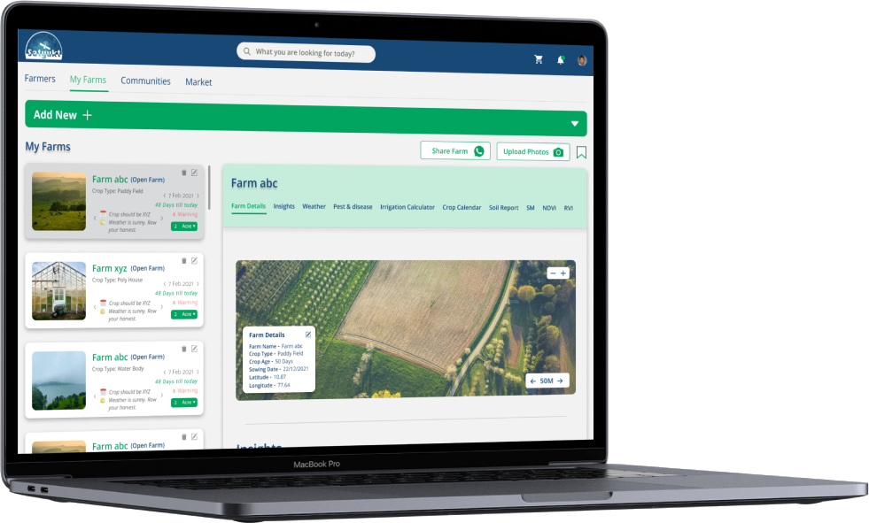
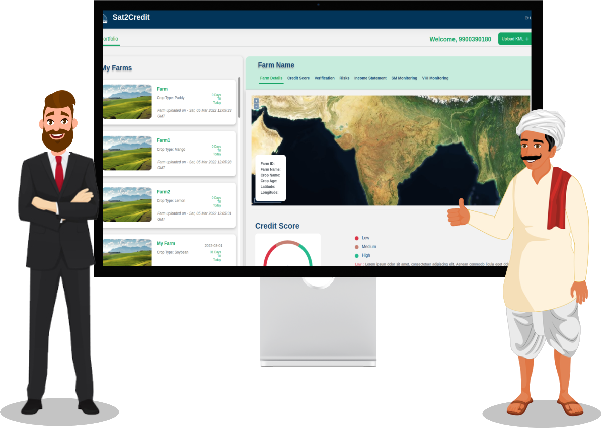
Sat2Credit
We essentially provides services and metrics that will help banks simplify their process of loan approval for farmers.
Scroll

Scroll
The institutional credit in agriculture without the proper metrics to measure the risks and benefits will prove to be a double edged sword. Traditionally, the losses are assessed by field visit. However, this method is cumbersome, time consuming, prone to errors and difficult to scale. UAV can be used to estimate the losses, however these also require physical visits and past time is not available and thus the critical times at which credit should be made available in the production process is lost. Thus, in order to fasten the risk assessment from the institutional point of view and ensure a quicker approval process, Sat2Credit with Satellite remote sensing offers a solution which is scalable and provides information across the globe which is transparent and available at all times for all the stakeholders.
Remote sensing is the acquisition of information from a distance. Various space agencies (e.g. NASA, ISRO) observe Earth and other planetary bodies using sensors aboard satellites that detect and record reflected or emitted energy. Remote sensors, which provide a global perspective and a wealth of data about Earth systems, enable data-informed decision making based on the current and future state of our planet.