
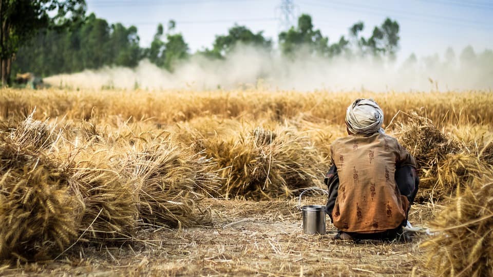
Distress to De-stressed: For India’s Farmers Agtech and Government are Key
The share of the farm sector in GDP has declined from 29% in 1990 to about 17% in 2016 1. The productivity of various crops in the country is less as compared to countries to that some countries in Europe, the US, and China. Crop yield of wheat and rice are less as compared to the global average 2. The factors affecting these crops yield are moisture stress in farms due to monsoon fluctuations, various agro-climatic conditions, weather extremities..etc. All these factors are creating agricultural distress and pushing farmers into financial crisis.
To address farmers financial crisis ten state governments have announced farm loan waivers amounting to nearly Rs. 1.7 lakh crore since the start of 2017-18, and Chhattisgarh and Madhya Pradesh governments have promised to waive farm loan 3. And Indian govt. introduced Pradhan Mantri Fasal Bima Yojana (PMFBY) earlier in 2016, in a move aimed at reducing agriculture distress and farmers welfare without having to affect hefty hikes in the Minimum Support Prices (MSP) of agricultural products prices due to Monsoon fluctuations induced risks. State and central governments are collaborating with premier institutes, established firms and agtech startups to introduce technology in the agriculture sector.
Technologies like the internet of things, artificial intelligence, big data analytics, and satellite and remote sensing technologies can offer cutting edge technologies to farmers which make them sustain and improve their income.
Satellite remote sensing technology provides historical and near real-time data which are captured by different sensors over a period of time. Satyukt uses multiple satellite data to estimate agro-hydrological variables (e.g. soil moisture, vegetation indices, and evapotranspiration), to provide data and analytic solutions for agriculture, crop insurance, and water resources. Agro-hydrological variables are a tool to monitor crop health, development and gain of biomass, development of water content and progress of photosynthesis. Soil moisture data provide insights to make use of optimum water for irrigation. This planning makes them to effective utilization of groundwater storage. satellite images provide information about soil, water, and vegetation. Using historical and near real-time data crop damage and loss, assessment can be estimated to take decisions for crop insurance companies to pay the bills of farmers.
Satyukt Analytics Pvt Ltd has developed in-house innovative algorithms to combine multiple satellite data to provide a continuous flow of information throughout the year at greater spatiotemporal resolution. Our team uses geospatial technologies to provide all-weather, high granularity, multi-scale data and analytic solutions in near real-time. The services offered for agriculture and crop insurance are as following:
-
- Soil moisture estimation
- Crop Health monitoring
- Evapotranspiration estimation
- Likely crop yield estimation
- Acreage estimation
- Crop mapping
- Loss estimation
- Crop damage assessment
- https://timesofindia.indiatimes.com/india/10-reasons-why-farmers-are-in-distress/articleshow/67069814.cms
- https://economictimes.indiatimes.com/news/economy/agriculture/indias-crop-yields-lower-than-us-europe-and-china/articleshow/55558872.cms
- https://www.bloombergquint.com/markets/what-mark-mobius-is-looking-for-in-indian-companie


