
Improved flood risk estimation and management with microwave remote sensing
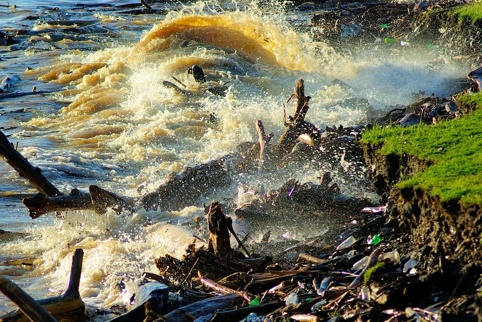
Due to Unusually heavy rain, coastal storms, or storm surges water resources (river, lake, pond) or water systems(dams) gets flushed with too much water beyond it’s carrying capacity, which overflows to the nearby land causing damage to people and property. Floods may develop slowly or quickly – Flash floods can come with no warning. Failing to evacuate the flooded areas, delay in rescue operations can increase the casualty.
Satyukt analytics expert in microwave remote sensing can help in the following ways:
Before the flood: Flood inundation maps are at the fundamental way of informing the public and city planners about flood-prone areas in a region. Identifying flood-prone areas will help in efficient evacuation and can reduce casualty.

During the flood: Flooding destroys roads and other transportation ways and makes rescue operations difficult. The remote nature of the flooded place has been posing difficulty in flood assistance or management 2. Despite many advancements in computational techniques and availability of high-resolution topographic data, flood hazard maps are still is lacking behind because most of them are prepared using optical data.
The following figure (Figure 2)shows the optical satellite imagery of the before and after flooding.


As it can be seen from the above pictures that optical Satellite imagery hardly has any data as usually floods are caused by heavy rain and area will be cloudy was hence optical imagery is not helpful in this case. Microwave remote sensing is capable of obtaining data under all weather conditions and hence can map flood affected areas to aid an effective rescue operation.Figure 3 shows microwave data over the area before and after flooding, where the dam and flooded areas can be seen clearly as microwave data is capable of penetrating clouds.


After the flood: For insurance purpose,cost-benefit analysis, or for local protection measeures it is essential to estimate the effect of hazard at a high spatial resolution. In view of these practical requirements, Satyukt has developed algorithms based on historic data which builds directly on water level information for damage etimation based on hydrodynamic calculation.


