
Flood and ecological devastation in western ghats
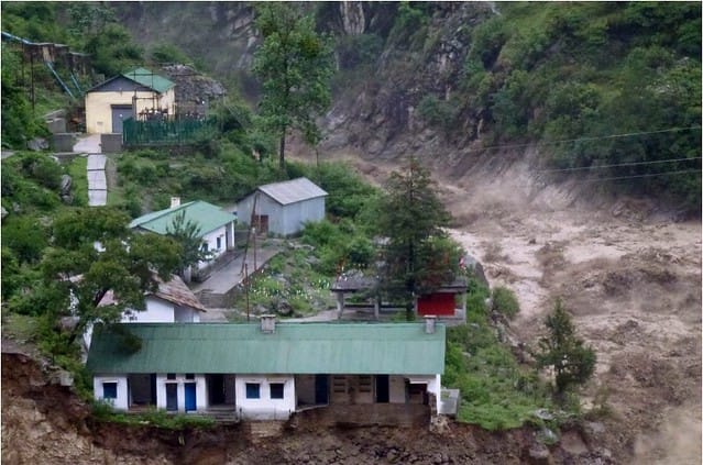
Recently, incessant rainfall associated with landslides have wreaked havoc on the western parts of India mostly in Sahyadri mountain range (western ghats). An analysis of current floods shows that the huge number of fatalities may be caused by the rampant destruction of western ghats, the mountain range that covers about half of Kerala. Experts warn that if this destruction goes on unchecked, impending floods could bring even bigger disasters in India’s monsoon gateway1. Kerala has a total 5,924 quarries, which accounts for an average of six quarries per panchayat, of which 56% of the quarries are on the ecologically sensitive spots of the Western Ghats, making them prone to landslides2. The existing ordinance mainly requires the quarries to be 50m away from residential zones. The regulation doesn’t take into account the type of land and it’s ecological sensitivity. A policy shift is required curtailing environmentally ruinous methods and switching over to a more sustainable farming approach.
Using high-resolution satellite remote sensing quarries can be identified along with it’s ecological significance. Satyukt analytics Pvt ltd expert in microwave remote sensing uses proprietary algorithms that employ high-resolution satellite images to identify mining sites. We are capable of analysing the land-use and land cover of the area and hence can identify the ecological significance.


