
Flood Drainage Study
Floods are among the most frequent and most destructive natural hazards on earth. It causes damage worldwide of more than $40 billion annually. Heavy monsoon rains have come to India and as a result millions of people are losing their homes and more than a thousand deaths. Excessive rains in different parts of India have been observed for the last three consecutive years due to drastic change of weather conditions and this much flood has brought usually once in every 100 years.
Floods can cause radical damage to the construction sites, which lead to affecting the drainage systems too. So, the flood drainage analysis before the setting up of any project is urgently required which helps to prevent the risk of anticipated flood inundation and post damages effects.
Design Flood Estimation of a particular structure may be chosen from either of the following, depending on its significance or risk involved:
- Probable Maximum Flood (PMF)
- Standard Project Flood (SPF)
- Flood inundation and discharge of a specific return period.

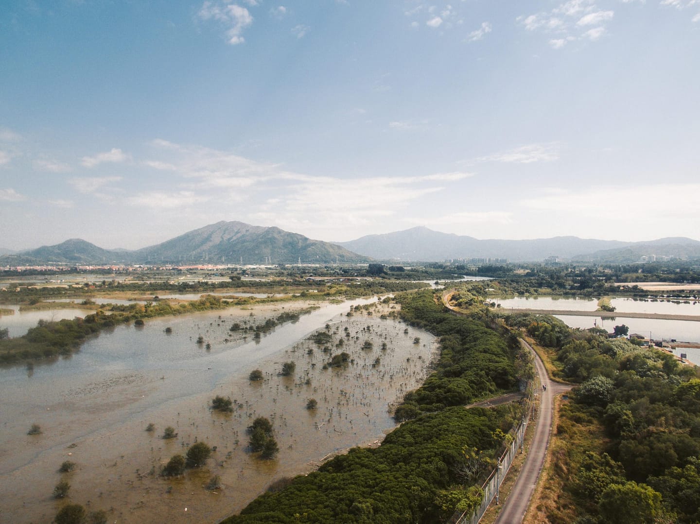
The figure represents the inundation depth map for the 100 years return period over a basin in Uttar Pradesh. The analysis has been done for 10, 25, 50 and 100 years return periods. This can help in better planning and management to prevent the devastating impact of floods. We, at Satyukt, have developed a unique algorithm by leveraging multiple satellite remote sensing along with the machine learning approach for the flood drainage analysis. We estimate the excess rainfall amount and detect the flood inundated areas for a particular period using the historic flood data as well as multi-temporal satellite data.


