
Case Study: Hydrology and Flood Drainage Study
Client Information:
One of India’s leading business houses intended to develop a Wind Power Project in Vietnam.
Problem:
Before the setup of any project, flood analysis should be done on the selected site to rule out all the possibilities of risk from the flood. Manual survey and analysis would be tedious time taking and expensive and hence won’t be an efficient solution. Satyukt Analytics, an expert in microwave remote sensing was contracted for computing:
- Design storm scenarios of various return periods
- Standard Project storm (SPS)
- Probable Maximum Precipitation(PMP)
- Portable Maximum Flood (PMF)
Challenges:
- For flood analysis, hourly rainfall data is required. Only, daily Rainfall data was available.
Solution:
Satellite images along with geotechnical and topographical investigation reports were proposed to use for the flood analysis. By referring to the Literatures, a methodology which uses microwave satellite data as input and an approach that combines hydrologic and hydraulic model was found appropriate for the study area. The whole methodology was carried out as two parts:
- Calculation of rainfall excess
- Estimation of Inundation depth
Hourly rainfall data was computed using Random Multiplicative cascade models (RCM) can innovative model developed by Sat Kumar Tomer (Sat Kumar et al., 2009).
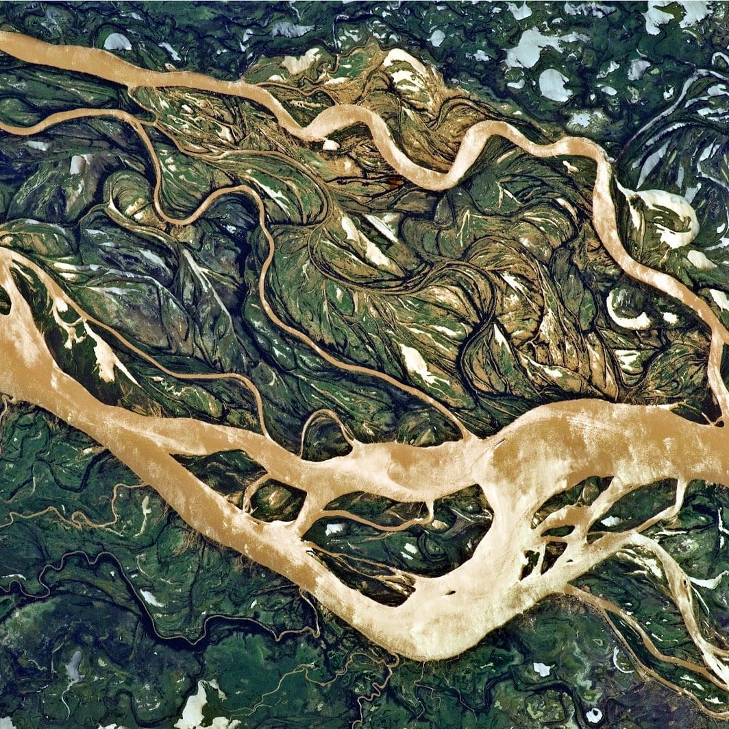
The python based model used for the calculation of rainfall excess and flood inundation depth is developed for analysing earth-surface dynamics such as geomorphology, hydrology, glaciology, and stratigraphy. It provides components to compute flows (such as water, sediment, glacial ice, volcanic material, or landslide debris) across a gridded terrain.
The figure depicts Intensity v/s duration plot for different frequencies( Return period) 5. The rainfall intensity of the duration of Tc for each outlet varied significantly due to the significant variation of the catchment area.


