
Surface mines in Rajasthan can be identified using remote sensing
First published on October 27, 2018
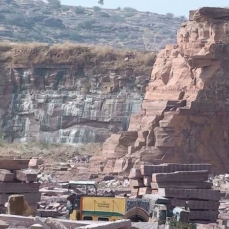
Rajasthan with 79 (Out of these, 57 minerals are being currently mined) different types of major and minor minerals is a leading producer of Zinc, Feldspar, Wollastonite, silver, Rock phosphate, Gypsum, Red ochre. While industrial mining has significant financial importance and usually follows legal procedures for mining exploitation and the commitment of recovering degraded areas, several illegal mining and it’s socio-environment impacts have recently been reported. Worried about the missing hills, the Supreme Court of India on 23/10/2018 directed the state government to stop illegal mining in Aravalli hills within 48 hours.
The mining sites needs to be identified for the decision makers to stop illegal mining. One method to identify the areas that are mined is to visit each site and identify the legality. But this method is tedious and time taking. An alternate method is to use satellite data to identify the mining sites. Satyukt Analytics Pvt Ltd, an expert in Microwave remote sensing is capable of monitoring and detecting surface mines.


