
“VATI” updates : Now Hourly rainfall data at your finger tip!!!
Precipitation/Rainfall apart from being an intrinsic hydrologic component also plays a crucial role in supporting socioeconomic growth and food security. Rainfall properly monitored and analyzed can help in many ways such as predicting disasters, estimating crop yield etc. For all these analyses, rainfall at shorter durations is required. Direct measurement of rainfall has many limitations and will not yield sub-hour rainfall data. An innovative algorithm has been developed at Satyukt analytics to disaggregate the rainfall data. The algorithm is successfully validated in southern parts of India and semi-arid areas. The algorithm developed is now available as a tool to the general public through VATI.
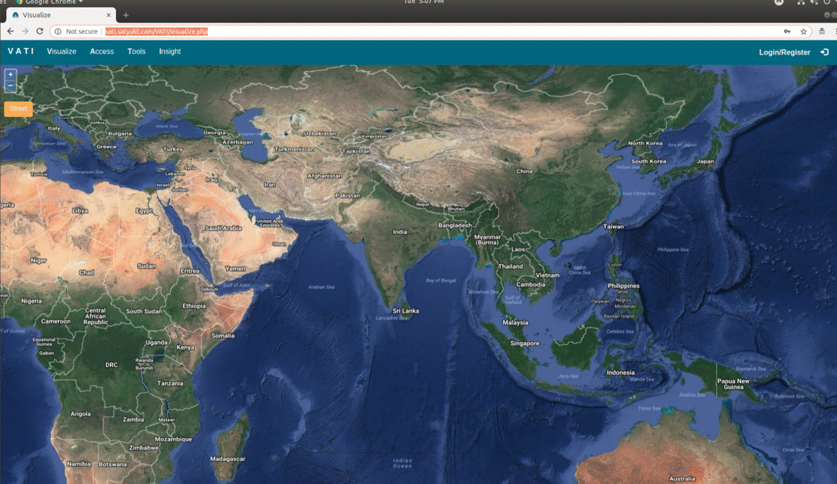
VATI (Visualize Access Tools Insight) is a web-based interactive map developed at Satyukt Analytics Pvt Ltd in an attempt to make hydrological data easily accessible and understandable to researchers and public. VATI helps in Visualizing, accessing and analyzing satellite estimated agro-hydrological variables in near real-time at customizable spatial, temporal and spectral resolutions with the aid of a user-friendly web interface which can be accessed globally. It also enables access to historical data since 1975. The proper monitoring and analyzing of these agro-hydrological variables would help in precision agriculture
VATI operates in 4 modes:
- Visualize:In this mode the user can visualize spatial temporal variation of agro-hydrological variables in the form of maps.
- Access:In this mode the user can order reusable data sets or finished products according to their requirement in customizable spatial and temporal resolution
- Tools:In this mode the user gets access to some hydrological tools developed by our technical team.
- Insight:In this mode the user can analyze temporal data (agro- hydrological variables) graphically.


2 comments to ““VATI” updates : Now Hourly rainfall data at your finger tip!!!”
Manjunath reddy - September 8, 2019
We would like to explore more on soil moisture data and possible projects. Pls let us know if interested to discuss more..
Catherin Sebastian - September 10, 2019
Respected Sir,
Thank you for your interest. We will be happy to discuss with you about soil moisture products and possible projects.
Thanks and Regards,
Catherin