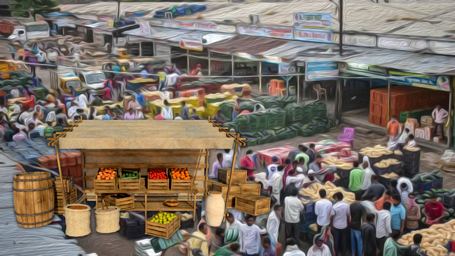
Agri-commerce platform for all the
Agriculture stakeholders
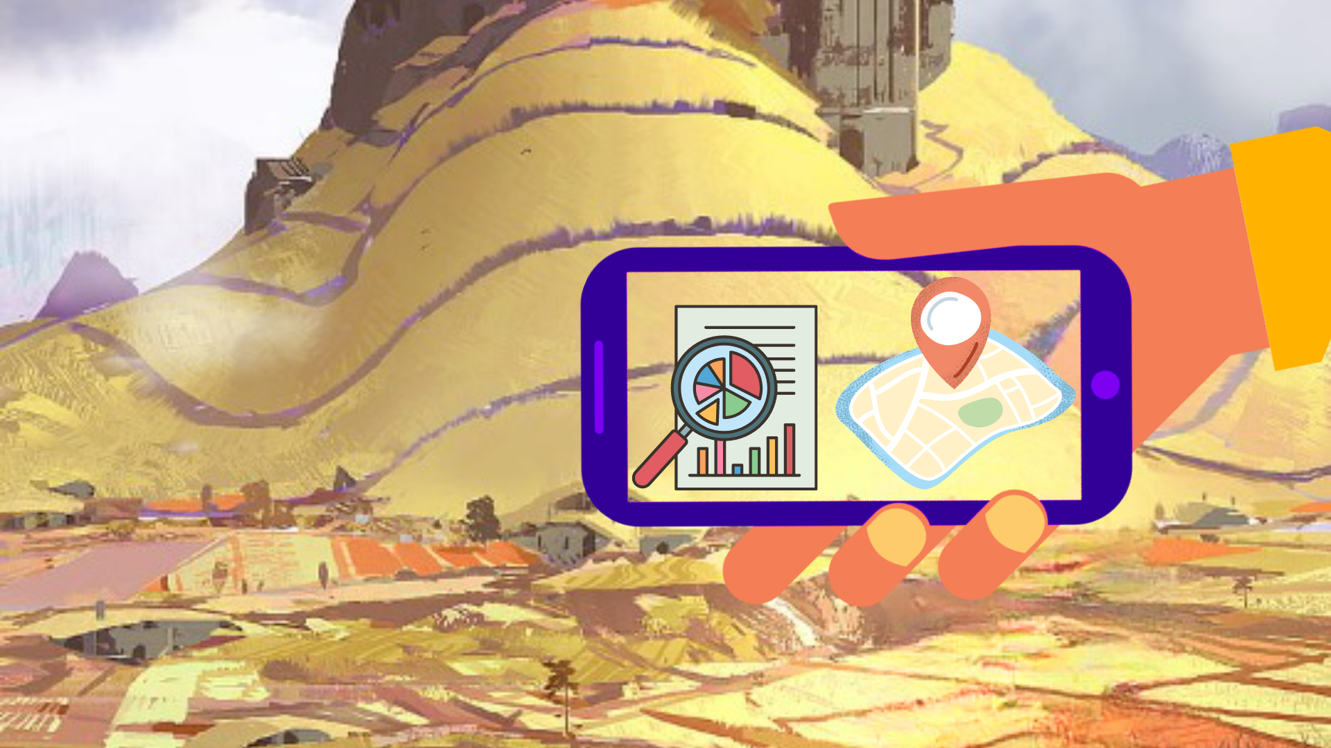
Find out how satellite-based technology helps in improving the access to collect large-scale data
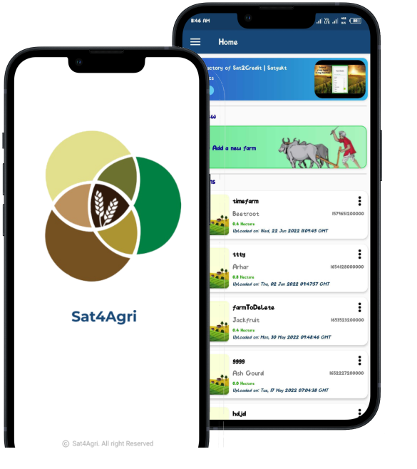
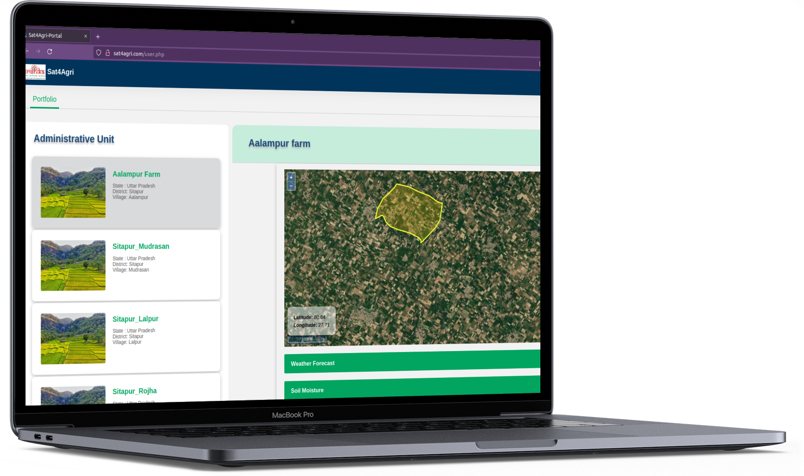
With multi-satellite data, we are able to provide what are all the crops grown in a particular area/ village/ taluk or at the regional level, the amount of farmland that has been planted with a crop, soil moisture content etc of different farms or at the regional level.
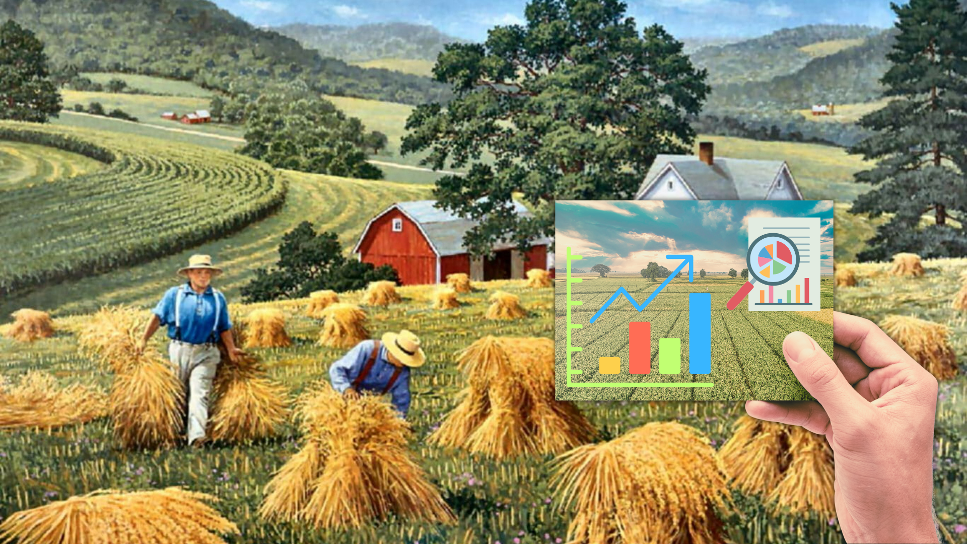
Do you feel manual acreage/yield data collection is expensive? Here is the answer
It is a lengthy and resource-intensive process to physically map the farm and collect other data, which requires a great deal of time and resources. It is an expensive project in total.
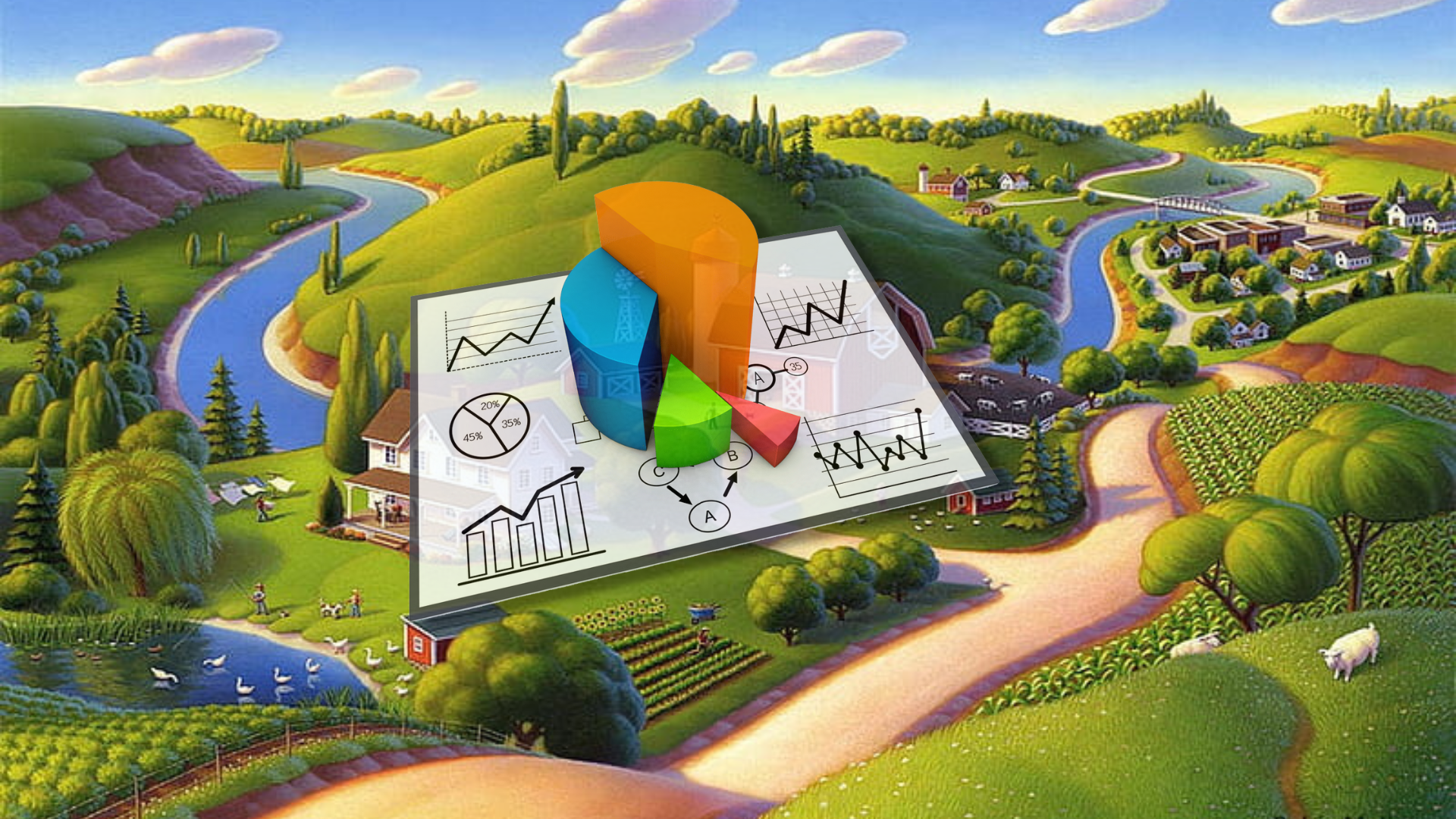
We make this job easy by estimating extensive data at a large scale. This data will be available all the time.
Our simple technology estimates the amount of farmland that has been planted with a crop and detects exactly how much of a specific crop has been grown. This will help Agri output companies to plan their activities in procuring agricultural produce.
It can be used to penetrate farmland and detect exactly how much of a specific crop has been destroyed and the progress of the remaining crop on the farm in the event of crop damage. This helps B2B clients to save the crop produce from their products.